 |
A Hike to the Sutherland Wash Rock Art District
|
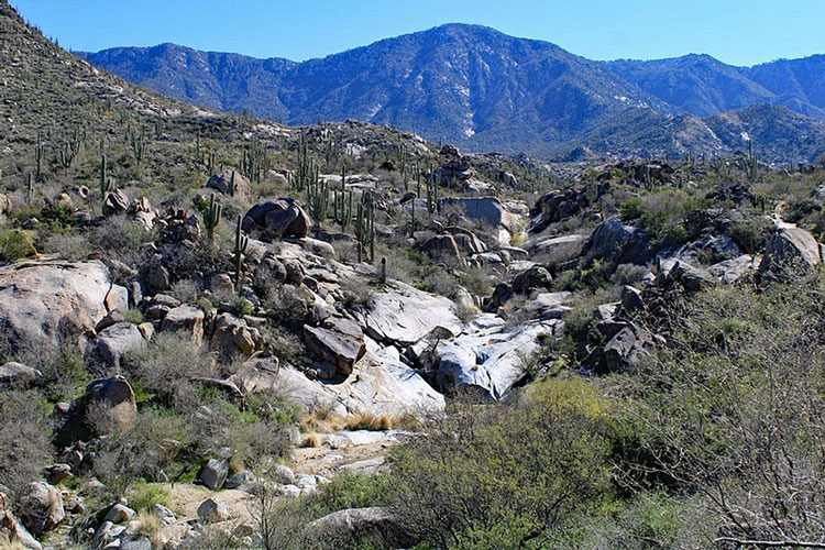
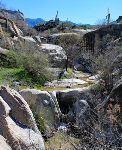
The Sutherland Wash Rock Art District is a complex of 28 Hohokam era sites that are located northwest of Tucson. While the sites have not been excavated, more than 3000 petroglyphs have been cataloged. The district is situated on the Coronado National Forest in the foothills of the Catalina Mountains. One of the sites is associated with a rocky wash where natural tanks are carved into the bedrock. It was this site that we happened onto while on our first hike in the area.
 |
 |
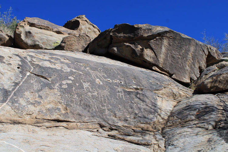
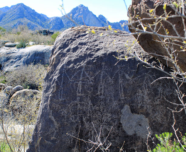
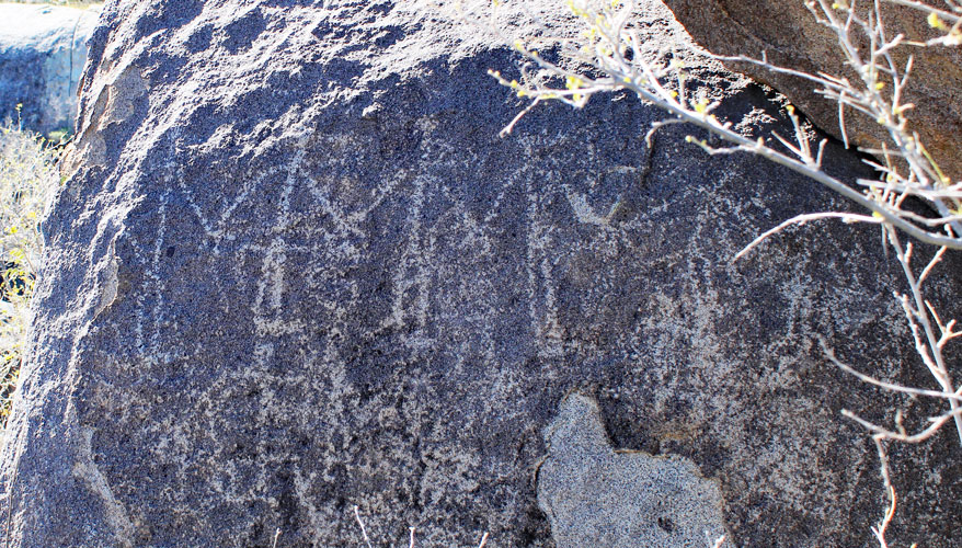
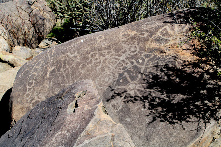
There have been at least two archaeological reports published on the petroglyphs of Sutherland Wash. Approximately 600 of the images have been classified as respresenting animal forms, while another 400 were thought to represent humans. In the case of the animal figures in this panel, not all of the horns or antlers are curved in the same direction. Are these representations of both deer and bighorn sheep?
 |
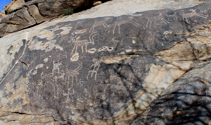 |
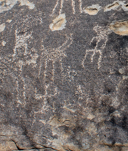
The authors of the reports, seem to have settled the issue as to whether certain petroglyphs represent human males or lizards with tails. A decision was made by the researchers, that if the middle leg was shorter than the two outer ones, then the petroglyph would be cataloged as human male. If the middle leg was longer, then the figure was designated as "lizard". That makes the figure in the upper right part of the image below a human male. The figure to the lower left with the enlarged groin area likely represented a human female.
 |
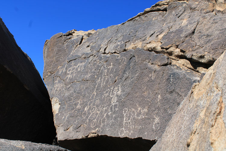
With the protocol that was described above in mind, there are at least two lizards depicted on this panel.
 |
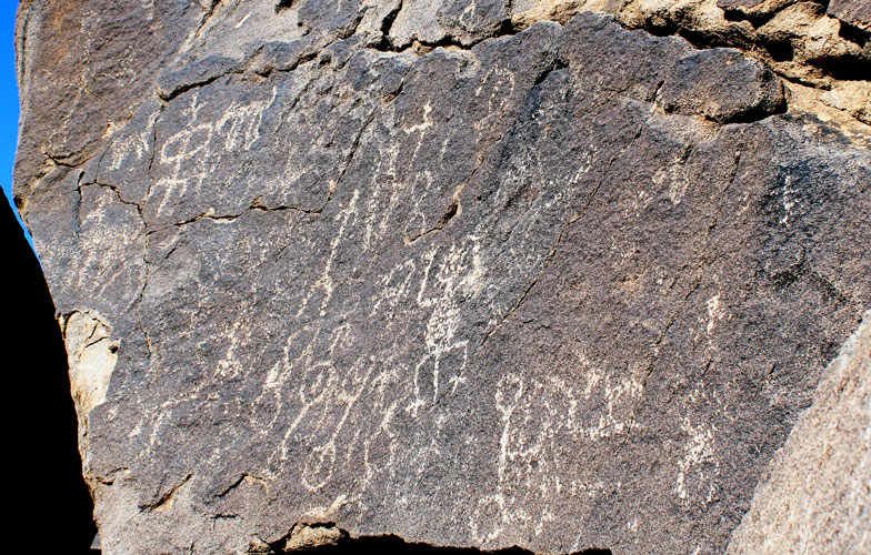 |
Another complex panel. Several of the human forms seem to be paired up. Are they couples?
 |
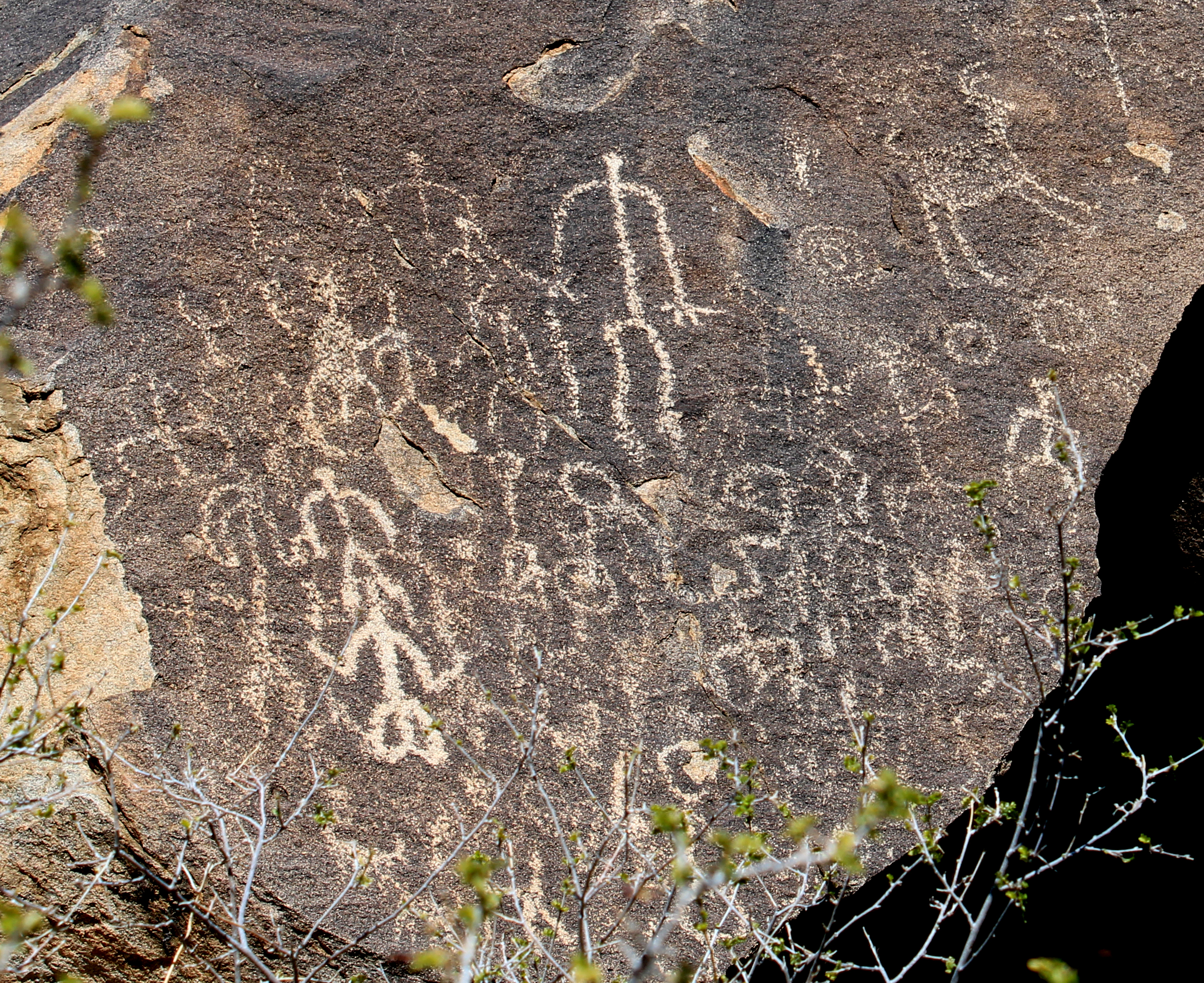 |
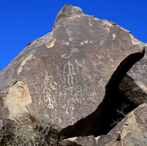
One of the more interesting scenes that we came across was described in one of the reports. It appears to be six human figures holding hands. The markings around the heads of the figures were interpreted to mean that the group was singing or chanting!
 |
 |
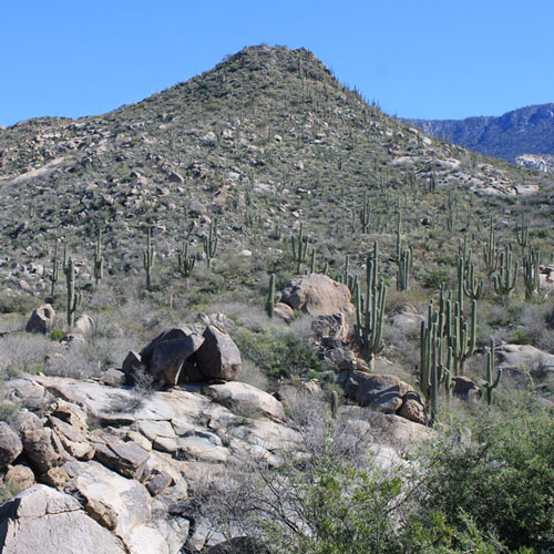
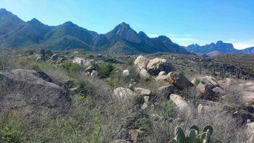
Near the petroglyph site is this conical hill. Its name is Romo Peak. In 1949, a hunter found a pot on the peak that contained 100,000 beads and 24 copper bells. The pot, cover, beads and 12 of the bells are now in the possession of the Arizona State Museum. The peak was named for the hunter.
 |
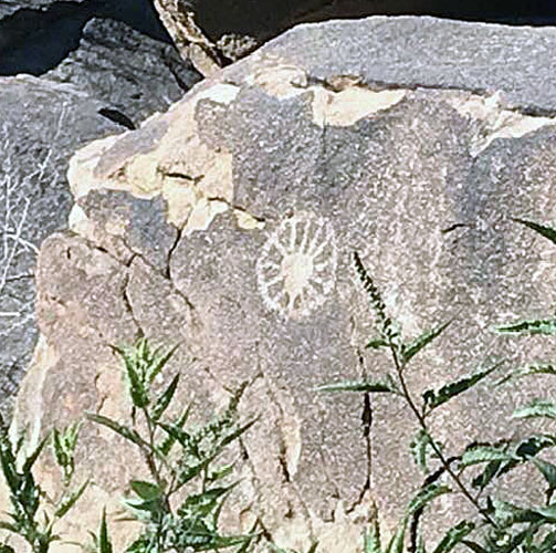
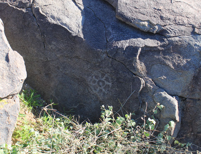
Approximately 180 petroglyphs were thought to represent the flowers of plants that grew in the area. Those with solid centers may represent flowers of plants related to the sunflower family. The ones with an open center and a dot may have been representative of the saguaro or prickly pear cactus flowers.
 |
 |
 |
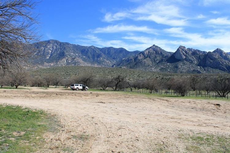
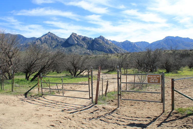
There is no vehicular access to the Sutherland Wash sites. We were able to drive within 1 1/2 miles before starting our walk. While the district is on National Forest land, access is across State Trust Land which requires a permit. There are many signs along the way that note this regulation.
This was our "trailhead" parking spot:
 |
The gates at the "trailhead".
 |
We used snippets of information that are available on the "Hike Arizona" and "All Trails" websites to come up with general ideas on where to go. Google Earth was used to spot "trails" that we could use as travel routes. We found the terrain to be very rocky and brushy. Cross-country travel would have been very difficult.
 |
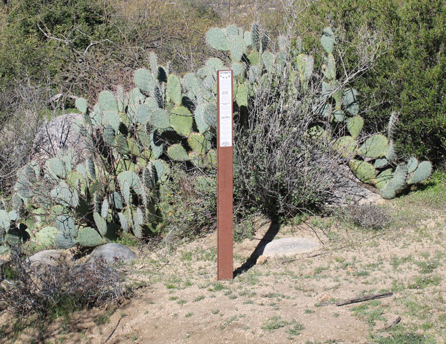
Forest Service Markers similar to this alerted us when we got close that it was time to pay attention.......
 |
The two archaeological reports that were very interesting and useful were:
2. Flower World Imagery in Petroglyphs: Hints of Hohokam Cosmology on the Landscape